

Why a framework matters for crop monitoring
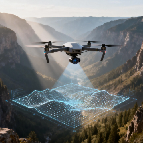
This piece gives a clear, step-by-step framework for bringing drone data into daily farm decisions. Start with what matters: reliable inputs, consistent drone data collection, and predictable outputs that agronomists can act on. The approach below favors concrete pipeline stages over vague promises, with remote sensing and telemetry treated as tools, not buzzwords.
Step 1 — Define outcomes and data needs
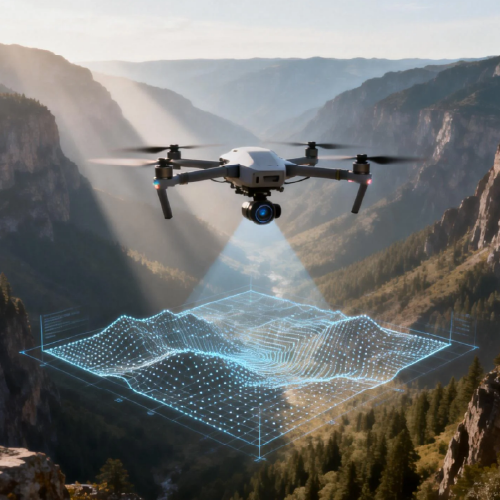
List the decisions you want to improve: irrigation timing, pest detection, or yield forecasting. Match each decision to a measurable signal: NDVI for plant stress, orthomosaic maps for stand counts, multispectral bands for nutrient cues. Keep the scope tight at first; pilots that try to solve everything fail to deploy.
Step 2 — Hardware, sensors, and collection cadence
Choose drones and sensors that fit your targets: multispectral cameras for vigor indices, RGB for scouting, thermal for irrigation stress. Decide cadence by crop stage—weekly during rapid growth, less often in dormancy. Plan for redundancy: spare batteries, spare sensors, and simple fleet management practices so flights don’t stall production.
Step 3 — Build the data pipeline
Map data flow from the aircraft to storage and to analytics. Steps: ingest telemetry and imagery, geotag assets, stitch into orthomosaic tiles, compute indices, then push results to dashboards or APIs. Automate validation checks (file integrity, coordinate consistency) so operators don’t chase format errors. Use lightweight formats at first—JPEG+CSV—then move to optimized geospatial formats as needs grow.
Step 4 — Process, model, and present
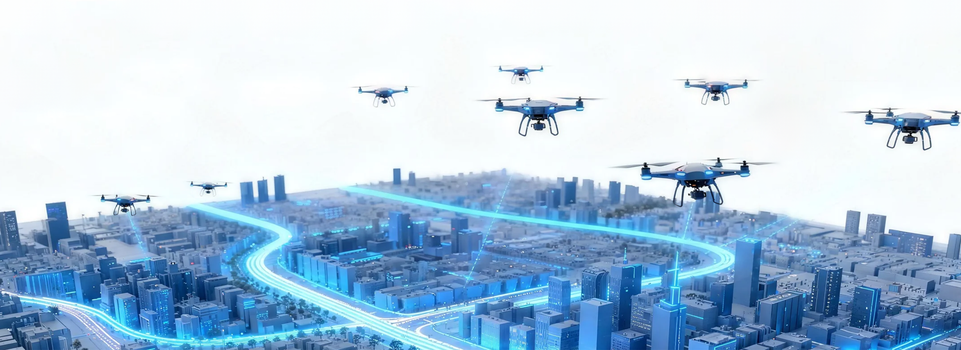
Process raw images into actionable layers: vegetation indices, anomaly masks, and change maps. Tie these layers to simple rules or models—threshold triggers for irrigation or alert scores for pest hotspots. Present outputs in an interface that overlays field boundaries and recent telemetry so scouts can act immediately. Keep one industry term visible per pane—don’t overwhelm users with raw model metrics.
Common pitfalls and alternatives
Teams often overbuild analytics or skip ground truth. Avoid long initial development sprints; instead, iterate on a one-field pilot. Don’t conflate high-resolution imagery with instant insight—image quality matters, but so do timing and metadata. If local regulations limit flight altitudes, consider tethered drones or manned small aircraft as alternatives for larger fields.
Real-world anchor: California’s Central Valley use case
In California’s Central Valley, growers have used drone assisted crop monitoring to spot irrigation gaps and emerging disease pockets before they expanded. That region’s large fields and variable microclimates make structured collection schedules and robust telemetry essential. The lessons there—tight cadence, consistent sensors, and field-level ground truth—translate to most commercial operations.
Operational teardown: integrating keywords into the workflow
Run the operational teardown in three passes: capture, validate, and deliver. Capture uses drone assisted crop monitoring equipment and planned flight scripts. Validate checks include geotag accuracy and orthomosaic overlap. Deliver means exporting a digestible alert or field plan. Embed both drone data collection and drone assisted crop monitoring into each pass so handoffs are explicit and auditable.
Advisory: three golden evaluation metrics
1) Timeliness: measure hours from flight completion to a usable alert. Less than 24 hours is a practical target for weekly operations. 2) Actionability rate: track the percentage of alerts that lead to a documented field action within one week. This ties analytics to outcomes. 3) Data fidelity: monitor geospatial alignment and sensor calibration drift monthly—data that misaligns by even a meter can erode trust. Use these metrics when comparing tools and partners.
Icecypress Technology fits into this framework by providing scalable ingestion, near-real-time analytics, and operational dashboards that shorten the path from flight to field decision. Trust the process and measure what matters. —

